6-Month Trade-Up Guarantee
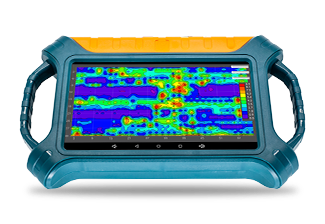
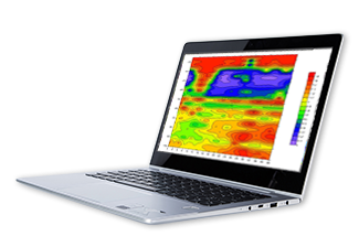
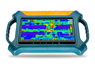
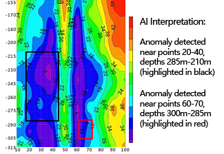
 AI Interpretation
  Accurate & Stable
 Auto Imaging
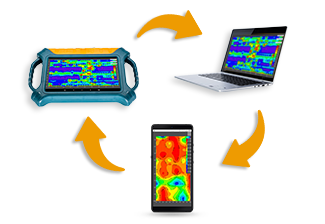
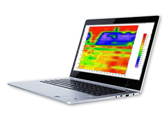
  Multi-screen InterComm
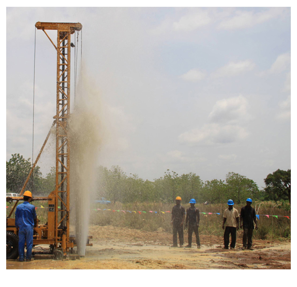
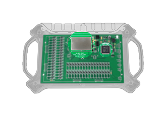
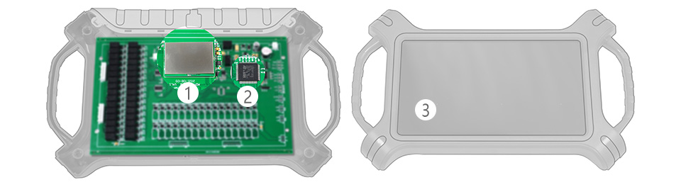
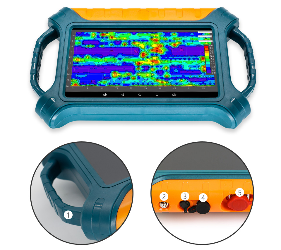
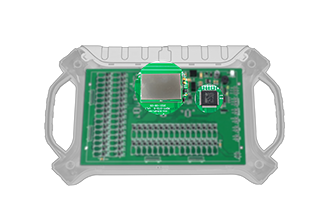 High Precision and Strong Anti-interference
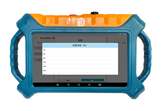
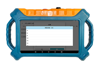
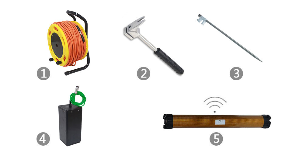
 Auto Plotting
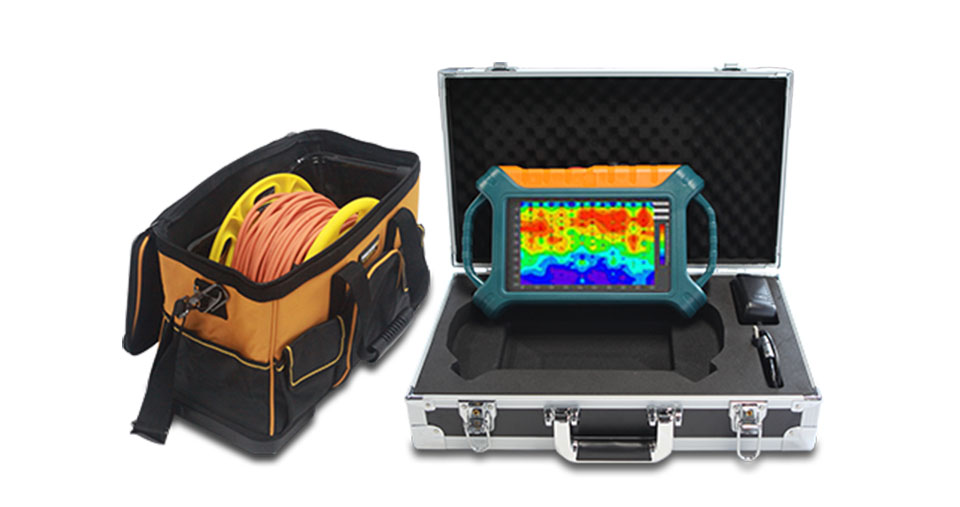
 High Operation Flexibility
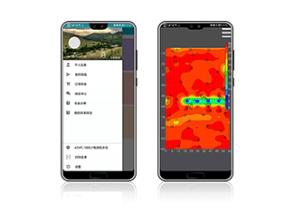
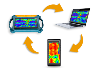 Multi-screen Data Sharing
 AI-Powered Analysis
 Free App and value-preserving Upgrade
 Life time Expert Assistance
|
Versions |
ADMT-300SX-16D |
ADMT-500SX-16D |
ADMT-1200SX-16D |
ADMT-2000SX-16D |
ADMT-3000SX-16D |
|
Max Depth (m) |
≤300 |
≤500 |
≤1200 |
≤2000 |
≤3000 |
|
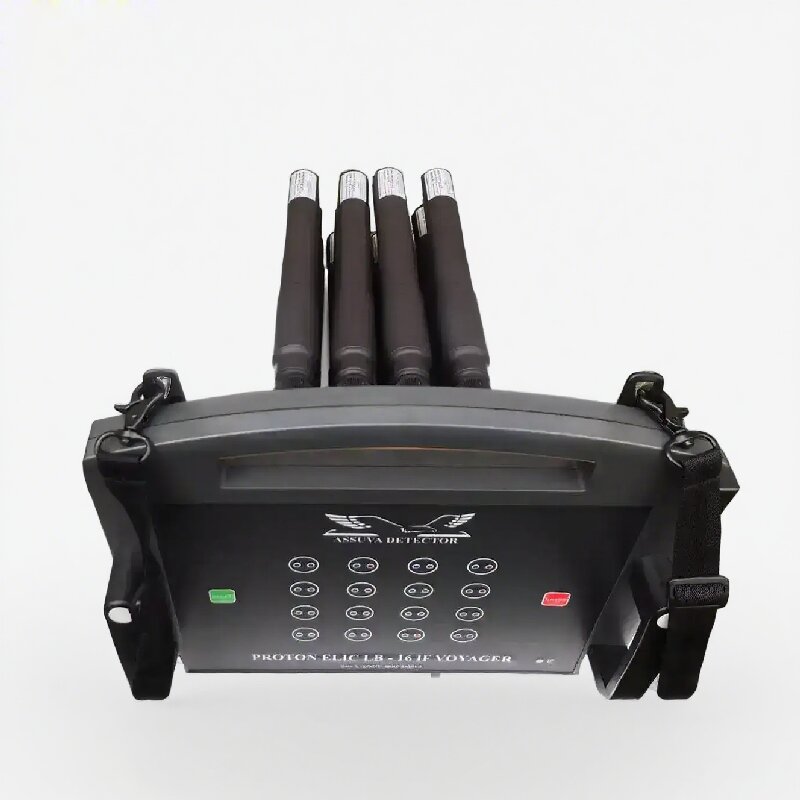
Channel Input |
16 channels of simultaneous input with a standard electrode spacing of 2.5m, and optional spacings of 5m, 7.5m, or 10m |
||||
|
Channel Options |
1-14 |
||||
|
Depth Options |
Optional within the maximum depth, refer to 100/200/300/400/500/600/800/1200/2000/3000m |
||||
|
Scan Interval |
10-80 |
||||
|
Connections |
Serial port, Wifi, Bluetooth 4.0, USB (optional 4G) |
||||
|
Display |
10.1-inch IPS wide-angle 178° visual touch screen (1024×600) |
||||
|
OS |
Android 6.0.1 / Android 13 |
||||
|
CPU |
ARM Cortex-A7 8-core CPU 2.0Hz / RK3568 |
||||
|
GPU |
OpenGL ES 2.0 / Mali G52 |
||||
|
Core Features |
Multiple options of depths, 2D/3D plotting, removable battery |
||||
|
Sensing Mode |
MN/TT |
||||
|
Frequency Range (hz) |
1-8K |
0.01-6K |
|||
|
Filtering |
Preset or intelligent frequency selection, analog + data filtering 1-16 times superposition optional |
||||
|
Discrim. |
0.1mV±3% |
0.01mV±2% |
|||
|
Acquisition Time (s) |
60-3600 |
120-5400 |
|||
|
Battery |
800mA/H |
||||
|
Console Weight |
1.85kg |
||||


Contact: Mr Chen
Phone: +86 13874354330
Tel: +86 746 8323309
Email: pearldrill02@guangzhouintl.com
Add: 3rd Floor, Wanli Market, Fenghuang Road, Lengshuitan District, Yongzhou City ,Hunan Province China